
ファイル:DSC28372, Cannery Row, Monterey, California, USA (6062142304).jpg
元のファイル (2,736 × 3,648 ピクセル、ファイルサイズ: 2.48メガバイト、MIME タイプ: image/jpeg)
.jpg)
概要
| 解説 |
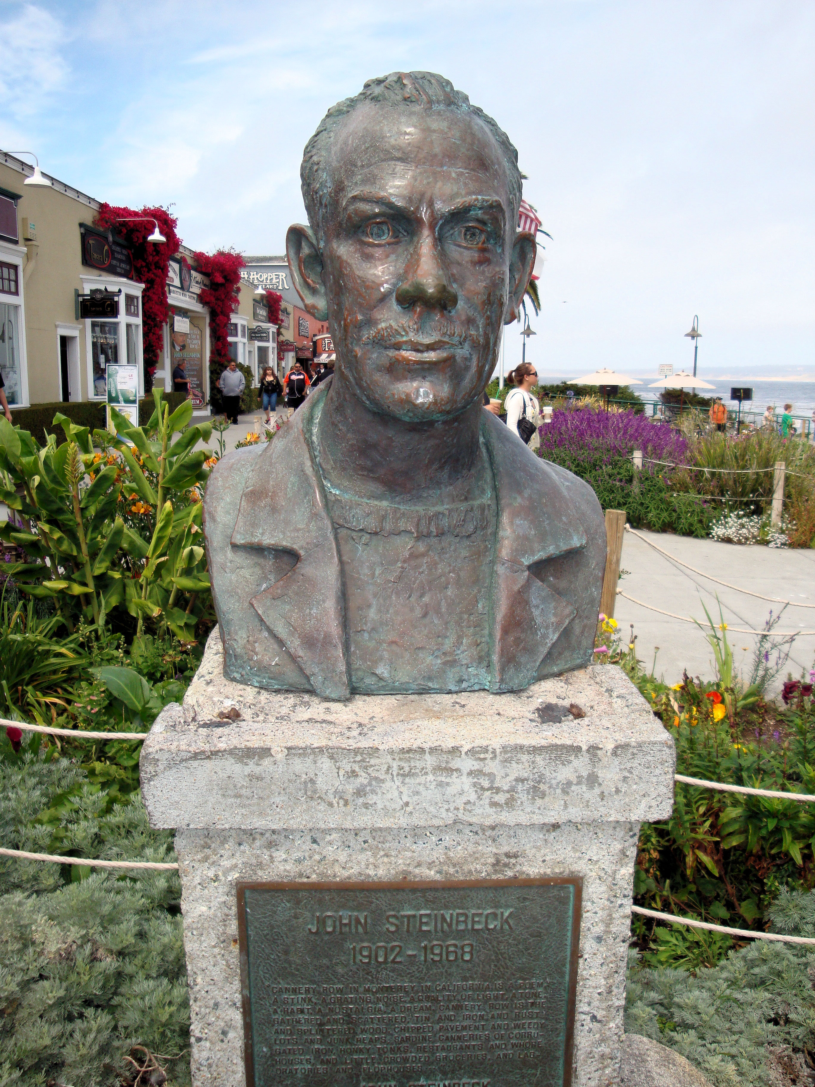
Welcome to Cannery Row, one of the most beautiful coastal areas in the country. Monterey visitors rank Cannery Row as their favorite spot on the Peninsula. Immortalized by John Steinbeck’s classic novel, Cannery Row’s world-renowned heritage is found in the distinctive architecture that is reminiscent of earlier days. The cross-overs that used to carry sardines are now your path to a wealth of exciting shopping and dining experiences. The Monterey Bay National Marine Sanctuary is one of our nation’s treasured underwater parks. Each of the 14 marine sanctuaries protects a special underwater or coastal environment. The Sanctuary extends an average of 35 miles offshore, covers over 5300 square miles, and possesses an astonishingly diverse array of marine life, including 26 species of marine mammals, 345 species of fish and 4 species of turtles. Cannery Row is an ocean side playground filled with fun for everyone. Outdoor recreation abounds on land and in the water. Visitors are invited to explore the beauty of Monterey Bay’s rocky shores and marine life with kayaking, diving and tide pooling. The lineup of restaurants on the Cannery Row includes award winners and who’s who in the world of culinary trends. You will find temptations for every craving with a collection of restaurants ranging from casual to gourmet. Cannery Row has long been known as the place to go for distinctive souvenirs of the Monterey Peninsula. What has always remained constant on Cannery Row is the presence of small, independently owned stores, which carry items you are not likely to find anywhere else. |
| 日付 | |
| 原典 |
DSC28372, Cannery Row, Monterey, California, USA
|
| 作者 | Jim G from Silicon Valley, CA, USA |
| カメラの位置 | | 以下のサービスでこの位置を確認する: オープンストリートマップ |
|---|
.jpg¶ms=036.617336_N_-121.901378_E_globe:Earth_type:camera_source:Flickr_&language=ja)
ライセンス
- あなたは以下の条件に従う場合に限り、自由に
- 共有 – 本作品を複製、頒布、展示、実演できます。
- 再構成 – 二次的著作物を作成できます。
- あなたの従うべき条件は以下の通りです。
- 表示 – あなたは適切なクレジットを表示し、ライセンスへのリンクを提供し、変更があったらその旨を示さなければなりません。これらは合理的であればどのような方法で行っても構いませんが、許諾者があなたやあなたの利用行為を支持していると示唆するような方法は除きます。
| 当初、Flickrに投稿されたこの画像は、2013年3月31日に管理者又は画像査読者のFile Upload Bot (Magnus Manske)によって査読され、その時点で、Flickr上で記載されたライセンスの下で利用可能であることが確認されました。 |
ファイルの履歴
過去の版のファイルを表示するには、その版の日時をクリックしてください。
| 日付と時刻 | サムネイル | 寸法 | 利用者 | コメント | |
|---|---|---|---|---|---|
| 現在の版 | 2013年3月31日 (日) 16:09 | | 2,736 × 3,648 (2.48メガバイト) | File Upload Bot (Magnus Manske) | Transferred from Flickr by User:Josve05a |
リンク
この画像にリンクしているページはありません。
グローバルなファイル使用状況
以下に挙げる他のウィキがこの画像を使っています:
.jpg)